Mandatory evacuations begin at 8 a.m. Monday in Jacksonville for Zones A and B in preparation for Hurricane Dorian.
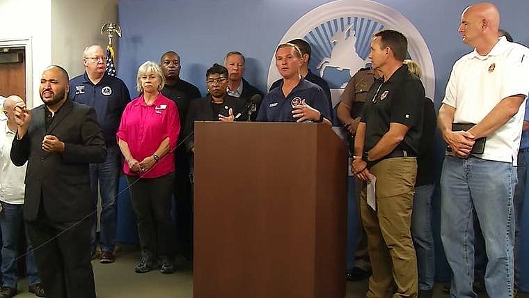
Mayor Lenny Curry issued the order during a 5:10 p.m. storm update Sunday at the Duval County Emergency Operations Center.
“This doesn’t mean you need to leave immediately at 8 a.m. Do this right, be calm about it. But you need to leave,” Curry said.
Curry declared a local state of emergency beginning at midnight Sunday, freeing “all resources necessary” to prepare for Dorian.
The mayor warned that people evacuating Monday likely will encounter poor weather from a nor’easter, not Dorian.
Storm shelters will open 10 a.m. Monday. Shelter locations and a list of what people need to bring are available at JaxReady.com or by calling 630-CITY.
The Duval County Courthouse and Clerks Office also will be closed through Wednesday.
Leaders ordered the Beaches closed at midnight Sunday until further notice. Jacksonville Beach officials are expected to announce a curfew and ban on alcohol sales Sunday night.
Jacksonville Sheriff Mike Williams said a curfew for the city of Jacksonville has not been discussed.
Schools in Alachua, Baker, Bradford, Clay, Columbia, Duval, Flagler, Nassau, St. Johns, Putnam and Union counties will be closed through at least Tuesday.
Bradford, Clay, Duval, Nassau, Putnam and St. Johns county schools also will be closed Wednesday. Union County will remain closed Thursday.
The Jacksonville Transportation Authority will suspend St. Johns River Ferry service beginning Monday.
In St. Johns County, emergency managers issued mandatory evacuation orders for zones A and B effective 8 a.m. Monday. Officials said 148,500 people are impacted by those evacuations.
Nassau County officials issued mandatory evacuations for zones A, C and F
Dorian’s Impact
Curry said Sunday that Dorian will come “uncomfortably close” to Florida’s East Coast. Dorian’s current track, updated at 5 p.m., has the storm about 75 miles off the coast near Duval County around noon Wednesday as a Category 3 hurricane.
National Weather Service Meteorologist Angela Enyedi said during the Duval County briefing that Jacksonville-area residents can expect storm surge up to 6 feet on the Atlantic oceanfront and the Intracoastal Waterway and up to 4 feet in the St Johns River basin.
Although the strongest area of the storm is expected to remain offshore, Jacksonville likely will begin experiencing tropical storm-force winds Tuesday. According to the sheriff, when winds reach a sustained 40 mph, JSO officials will begin to close bridges.