Jacksonville Sheriff Mike Williams said Tuesday his office cannot provide lead time for drivers before ordering area bridges closed because of winds from Hurricane Dorian.
The JSO will close a bridge when winds reach 40 mph or greater. Each bridge closure is dependent on conditions at its specific location, Williams said.
The sheriff urged evacuees and residents who must travel to monitor weather forecasts closely.
“Not all the bridges are monitored electronically, so we have to actually send, in some cases, an officer out to check that,” Williams said.
“We'll be monitoring the forecast and when we feel like it's time to check it, we'll go check it.”
The noon storm track from the National Hurricane Center and the National Weather Service show Dorian producing near tropical storm-force winds at Duval County beaches by 8 a.m. Wednesday.
Overnight Monday, forecasters removed Jacksonville from the cone of uncertainty — the possible path the eye of the storm could take.
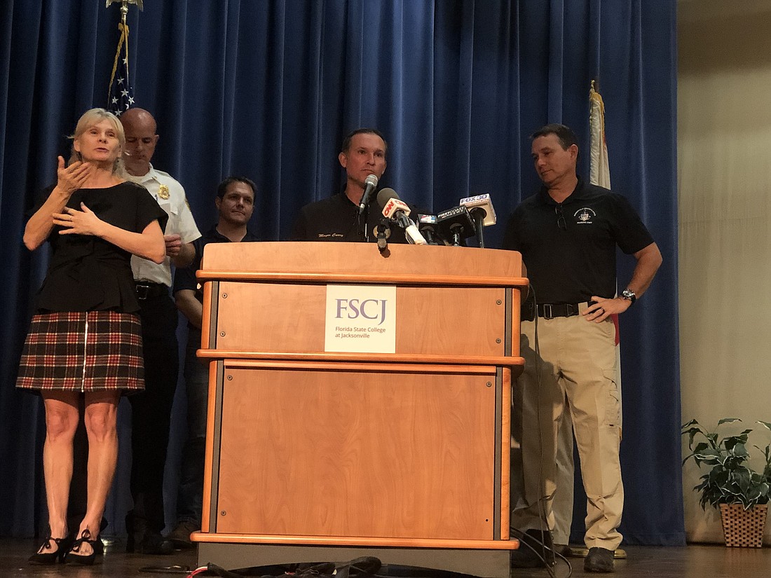
Mayor Lenny Curry said like Hurricane Matthew in 2016, storm surge from wind and rain still is a concern.
Duval County is under a tropical storm warning. A hurricane watch is in effect at the St. Johns-Duval County line.
Wind gusts near 60 mph are forecast at the Beaches by 1 p.m. Wednesday and 31 mph inland. Rainfall totals could reach 3 to 6 inches in coastal areas.
“You can't predict with precision exactly what's going to happen,” Curry said.
“We do know with tropical storm winds on the coast, you likely will have storm surge, you likely will have flooding, you likely will have downed trees — one if not all of those,” Curry said.
“This is not time to rest and think everything is going to be OK. There are still very serious storm effects that will come through our coastal areas and could affect low-lying areas.”
The 12 public shelters that opened at 10 a.m. Monday have received a total of 360 evacuees as of Tuesday morning, Curry said.
Shelter locations, which include special needs and pet-friendly facilities, can be found at JaxReady.com, on the JaxReady mobile app or by calling 630-CITY.
The briefing also served as the official activation of Jacksonville's Emergency Road Access Team during the storm.
Keith Powers, Jacksonville's Fire and Rescue Department fire operations divisions chief, said the JFRD increased staffing and deployed five emergency road access teams and seven swift boat and rescue teams that “will be strategically placed throughout” the city.
Powers said five additional rescue units and four more engine companies also have been deployed.
Debris removal teams were activated Tuesday to help rescue crews access neighborhoods.
The city issued a mandatory evacuation Sunday for Duval County residents in Zones A and B and people who live in manufactured homes. Curry said Tuesday likely is the last day for people in those areas to leave.
“If you stay behind in an evac zone because you think you can ride this out, you can't predict what that surge will do, but if that starts coming into your home … that will be very scary and there's a chance you won't be able to get out,” Curry said.